Stony Creek Trestle Bridge
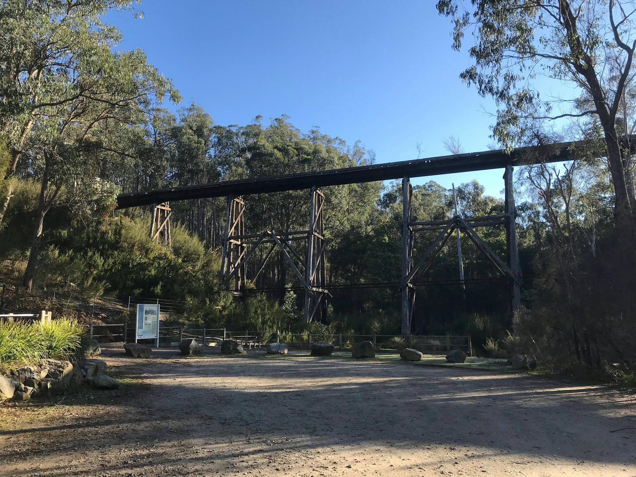
The scenic Stony Creek Trestle Bridge is just off the Princes Highway between Nowa Nowa and Lakes Entrance, four hours drive east of Melbourne. At 276 metres long and 20 metres high, it is one of the largest standing bridges of its kind in Victoria. This iconic and heritage-listed bridge was built in 1916 when […]
Moscow Villa hut
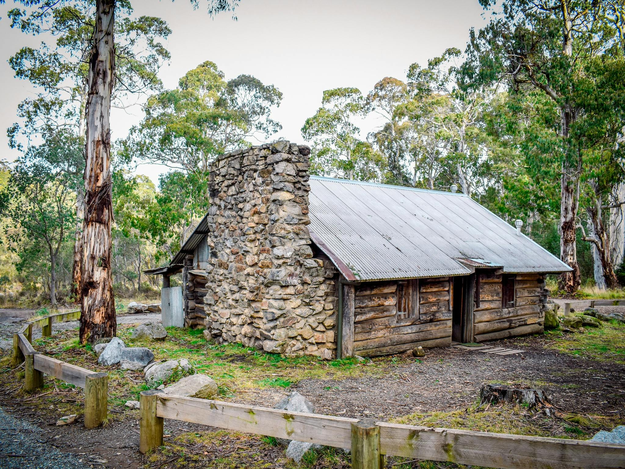
Moscow Villa is 5.5 hours drive north east of Melbourne in Victoria’s high country, just east of Swifts Creek. This beautifully crafted log hut is the centrepiece of the Bentley Plain Scenic Reserve, an area boasting natural beauty and steeped in deep history. Moscow Villa was once the summer residence for local fire tower man […]
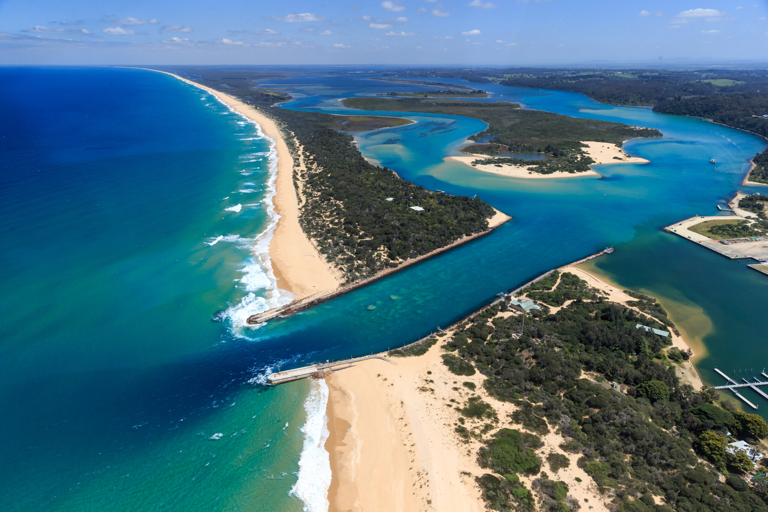
Wilderness Coast Walk
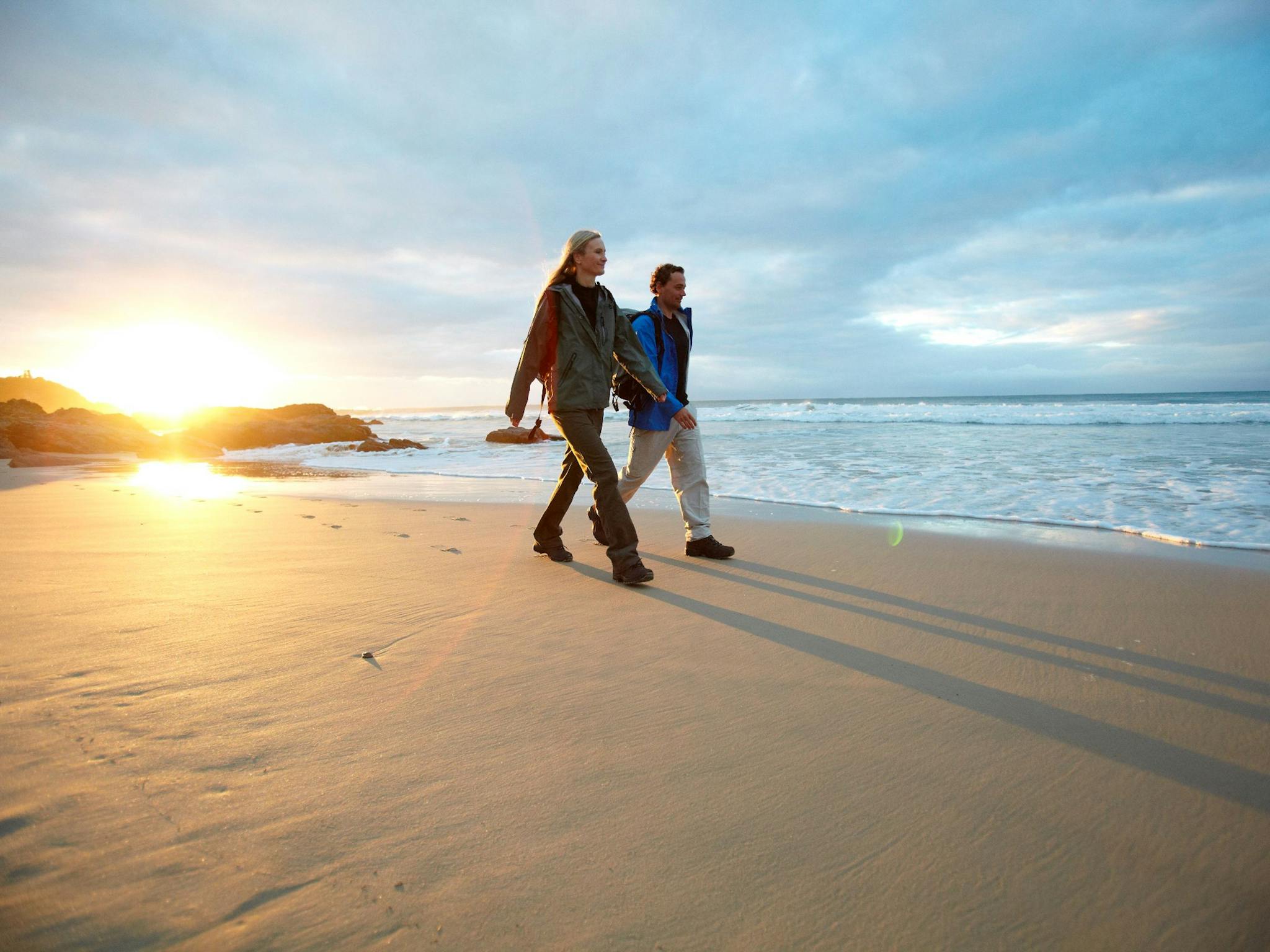
The Wilderness Coast Walk extends over 100 kilometres from Sydenham Inlet, Croajingolong, to Wonboyn, New South Wales. The Thurra to Shipwreck section features a magnificent section of the trail along an isolated stretch of coastline including the Sandpatch wilderness area, wide open beaches and small coves with rocky headlands, river estuaries and coastal heathlands. Location: […]
Under the Surface
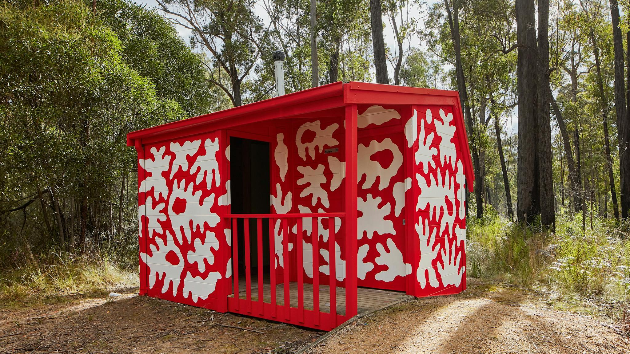
Under the Surface is a curated public art project comprising of local and internationally renowned artists’ works, located along the existing East Gippsland Rail Trail and extending through a selection of villages and townships of GunaiKurnai Country. The project invited local artists Alice Pepper and Patricia Pittman, to be joined by visiting artists MEGGS, Ling […]
Raymond Island Koala Trail
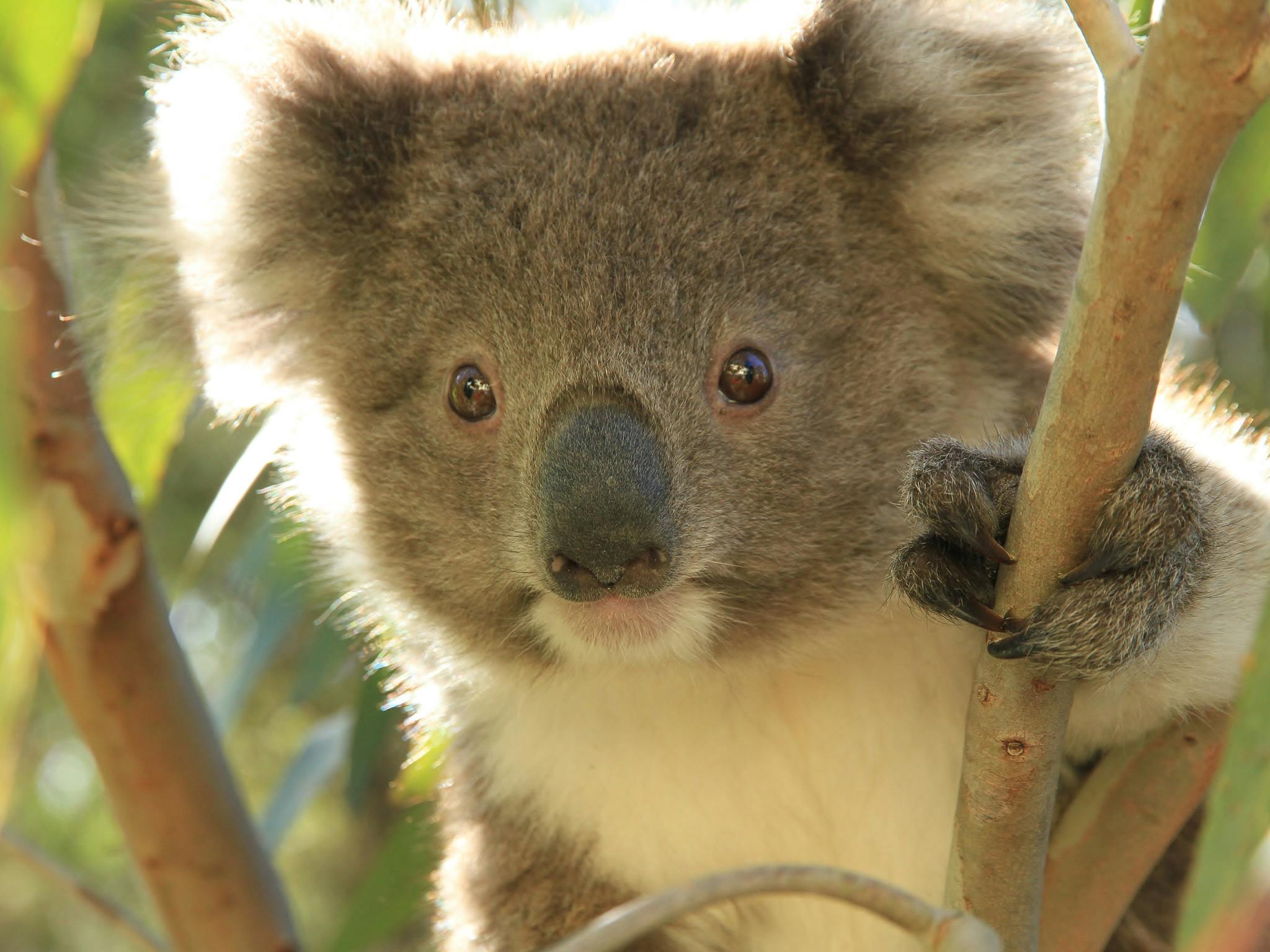
For nature lovers and wildlife enthusiasts, the Raymond Island Koala Trail is the perfect place to visit and spot wild koalas in their natural habitat. Raymond Island is in the Gippsland Lakes opposite the village of Paynesville. Follow the signs to the car park in Paynesville, then take a short walk to the Raymond Island […]
Mitchell River Walking Track

From river to gorge top, the semi-remote Mitchell River Walking Track follows the west bank of the river downstream from Angusvale through the Den of Nargun gorge, which is lined with remnants of temperate rainforest. There are spectacular views from the river to the top of the gorge. Location: Mitchell River National Park Distance: 18 […]
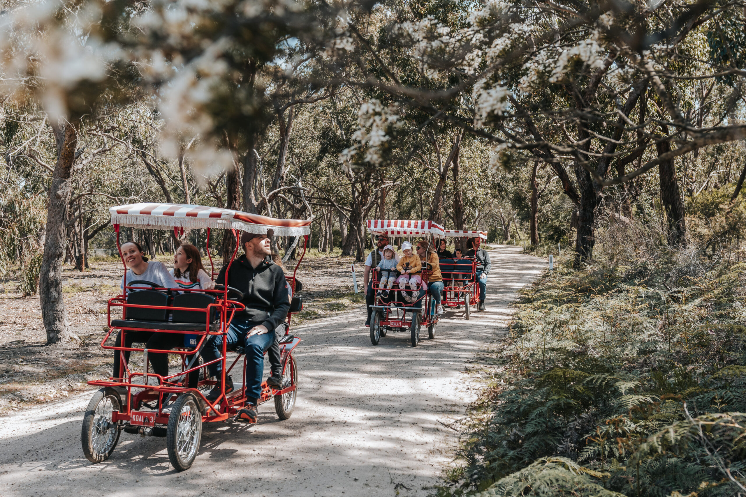
East Gippsland Rail Trail
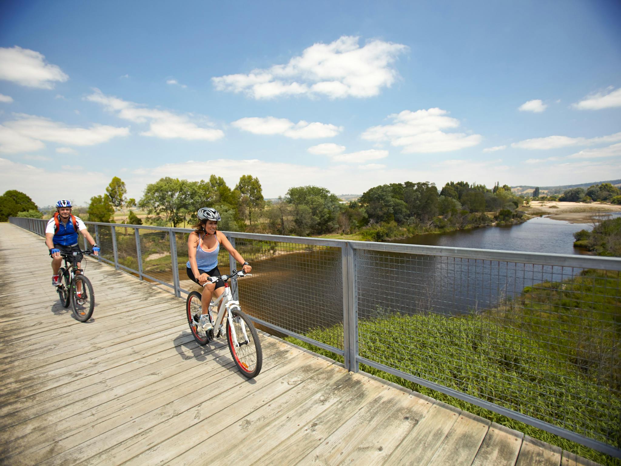
Location: Bairnsdale to Orbost Distance: 96 kilometres one way Track: Generally smooth dirt or gravel track Grade: Level One- Suitable for beginners and children. Level Two – Suitable for most ages and fitness levels Start: Howitt Park, McEacharn Street, Bairnsdale Finish: Burn Road, Newmerella. The trail ends at Newmerella, with an off road shared pathway […]
Cape Conran Nature Trail
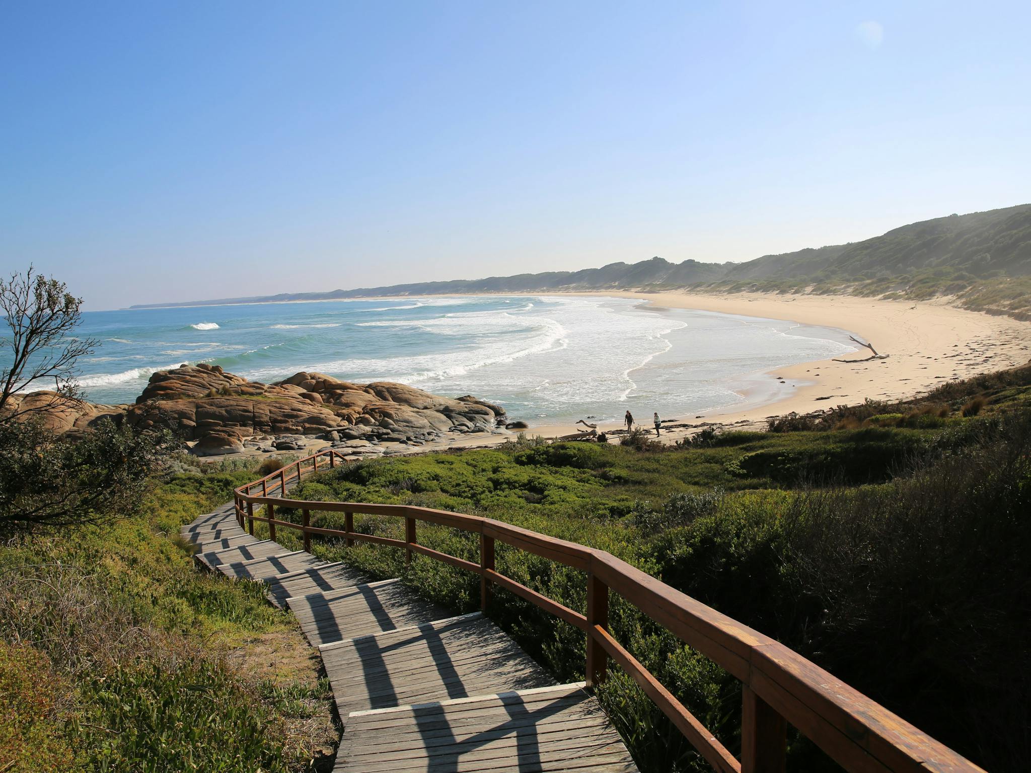
The Cape Conran Nature Trail explores white sandy beaches, rock pools, boardwalks, banksia woodlands and lookouts. Turn off to follow the boardwalk around East Cape to Cowrie Bay where interpretive signs explain the Aboriginal significance of the coast. Climb the steps from the beach to take the trail through coastal heathland back to Sailors Grave […]