
discover more discover more discover more discover more discover more discover more discover more discover more discover more discover more discover more discover more
Discover the Wonder of the Tambo Valley One Step at a Time
Walks
Walks & Rides in Swifts Creek, Cassilis, Ensay, and Bindi
From riverside strolls and country lanes to historic gold rush trails and scenic cycling routes, the Swifts Creek region offers walks and rides for every type of explorer.
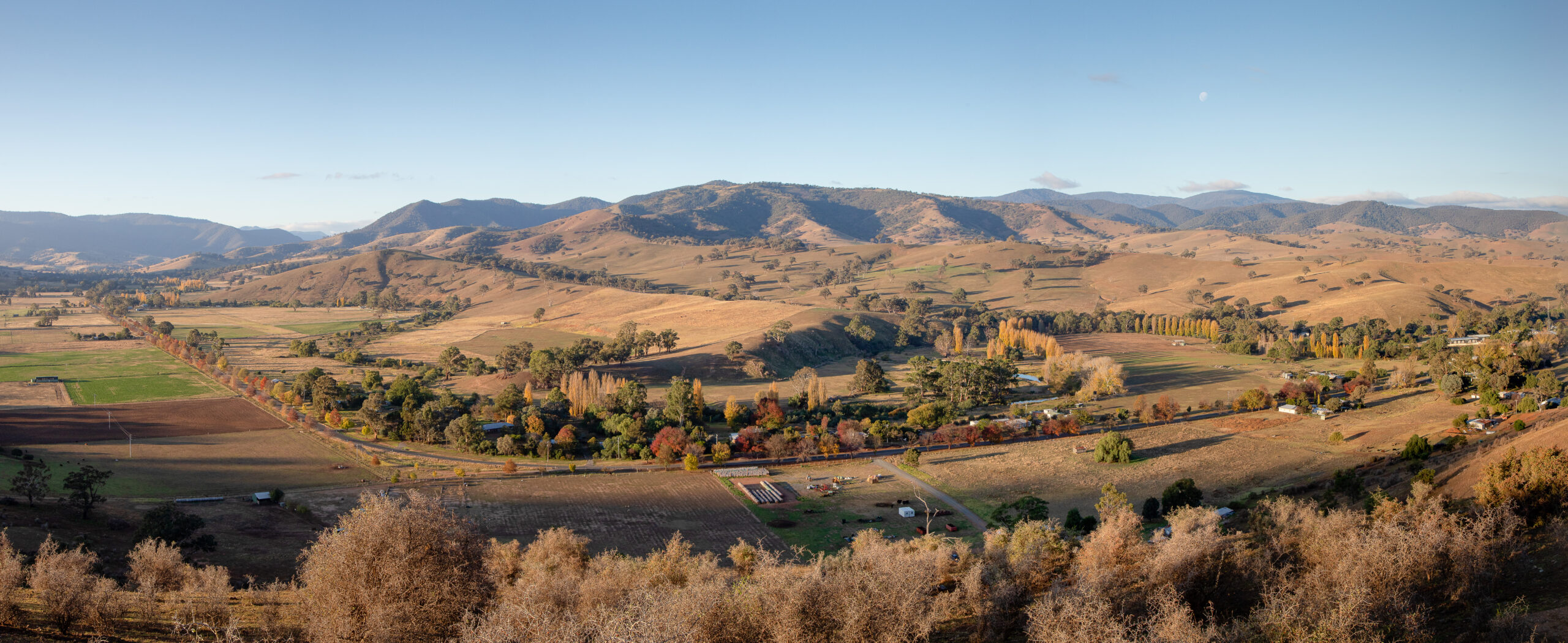
Stretching across Swifts Creek, Ensay, Cassilis, Bindi and the surrounding high country, these trails reveal spectacular valley views, historic landmarks, native wildlife and stories of East Gippsland’s pioneering past.
Whether you’re seeking a gentle walk beside the river, a family-friendly ride, or a more challenging hike through old mining country, you’ll find plenty of ways to slow down, connect with nature and uncover a different side of East Gippsland.
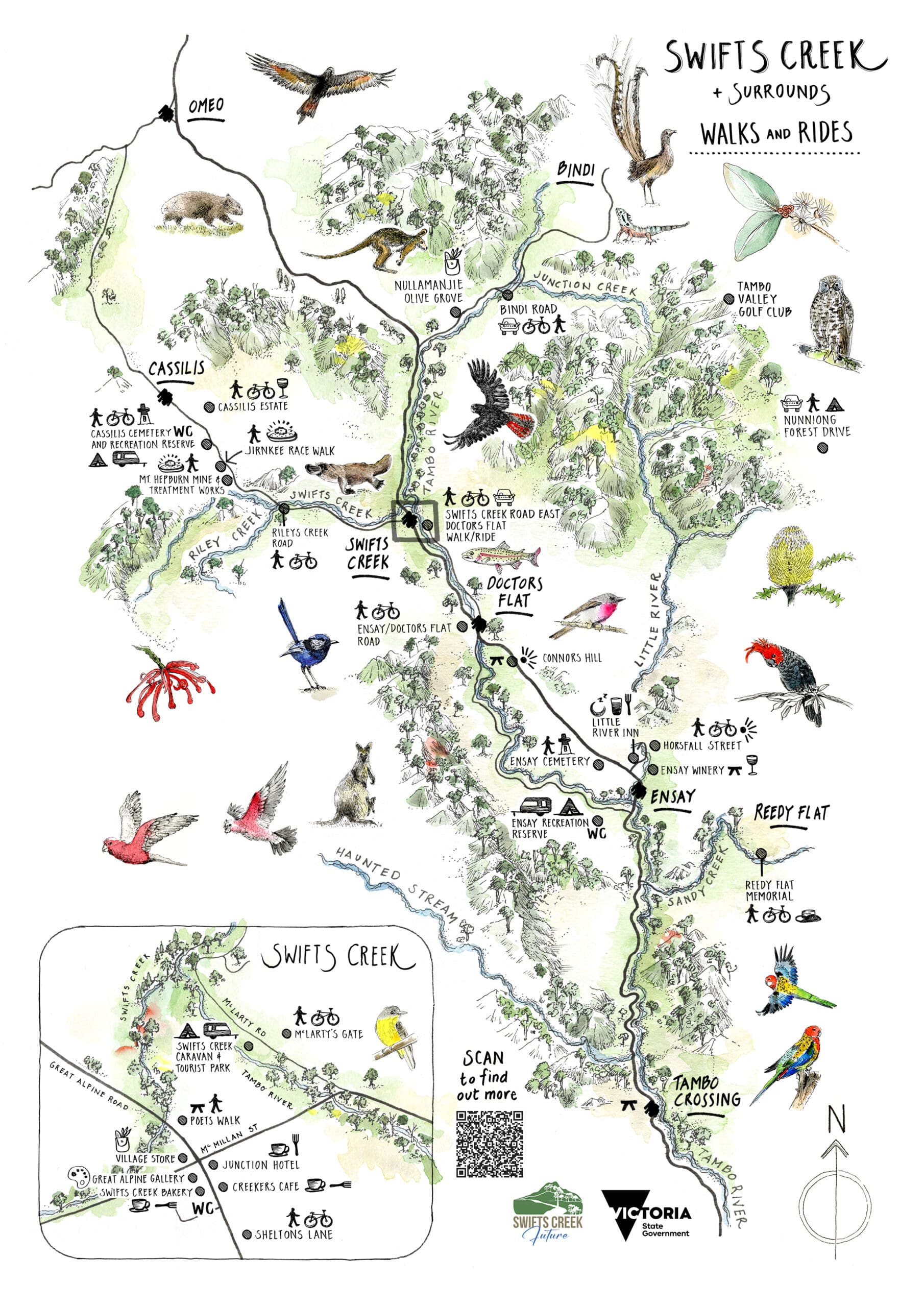
Download the detailed trails guide developed by Swifts Creek locals and a copy of their trails map before you head out.
Please check conditions before you travel, carry water, wear appropriate footwear and be aware of snakes during warmer months.
Ensay: Horsfall Street to Little River Road
Difficulty: Moderate
Distance: 5km return
Head east along Horsfall Street past the Little River Inn noting on your right the historic Ensay Calf and Sheep yards and the accompanying mural on your left. Sheep and calf sales have been held annually in the Ensay yards since 1920, the last sale being held in 2025.
Follow the road over the bridge across the Little River bearing left onto the Little River Road. Proceed up the hill past picturesque cattle properties. As you reach the summit the view opens out onto historic Ensay Station, where the much photographed ruins of the Ensay Station Woolshed can be seen. The beautiful Little River wends its way across paddocks managed by high country cattle producers for more than 100 years. Ensay Station Homestead can be seen in the distance.
Please note that no public access is available to the Ensay Station Woolshed, Ensay Station property nor the Ensay Station Homestead.
Nearby food: Little River Inn
Nearby accommodation: Ensay Recreation Reserve
Approx. 90 minutes return
Ensay: Ensay to Doctors Flat Walk
Approx.3.5 hours return
Difficulty: Easy to Moderate
Distance: 15km return
Beginning at the Ensay Recreation Reserve, this scenic route follows the quiet Ensay-Doctors Flat Road through picturesque farming country.
In Doctors Flat, Check out the mural featuring the old Doctors Flat Pub, and settler Dr Alexander Arbuckle, who is believed to be the first doctor in East Gippsland, arriving in 1840, and also (allegedly) the first planter of potatoes in the area. The pub was moved to Swifts Creek in 1926.
Nearby food: Ensay Winery, Little River Inn
Nearby accommodation: Ensay Recreation Reserve
Ensay: Cemetary Walk
For history lovers, a visit to the Ensay Cemetery provides fascinating insight into the area’s pioneering families and early settlers. Established in the 1890s, it tells the stories of the communities who helped shape the Tambo Valley.
Nearby food: Little River Inn
Nearby accommodation: Ensay Recreation Reserve
Approx. 30 minutes
Swifts Creek: The Poets Walk
Approx. 20 to 30 minutes
Difficulty: Easy
Distance: 1.2km loop
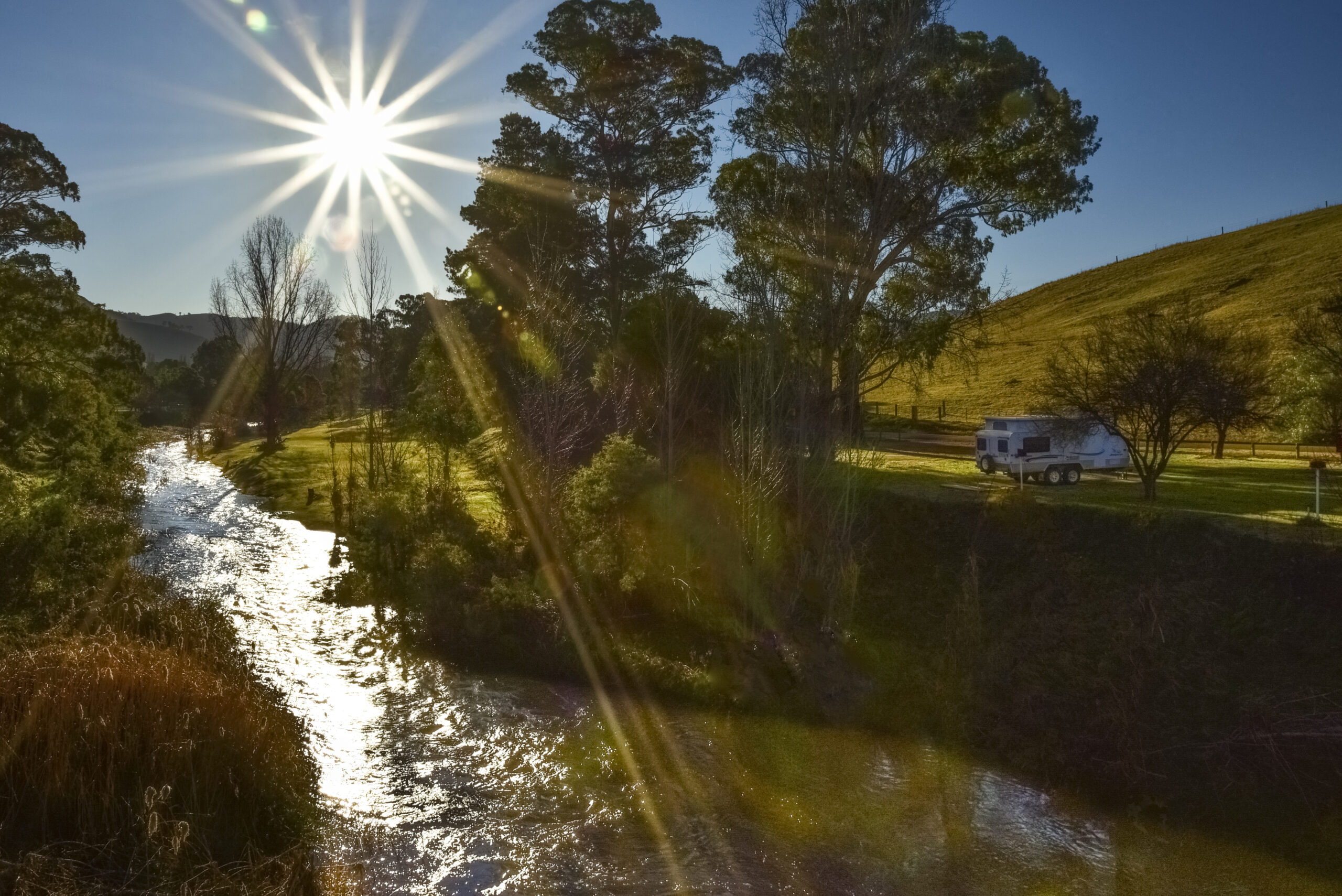
A River’s Mark, a poem by the late Swifts Creek artist, John Butler, inspired the creation of this Poet’s Walk and his poem is immortalised on a series of cairns along the walk. Start at the Great Alpine Road bridge (just past the police station) and follow the trail along Swifts Creek to its junction with the Tambo River, then along the Tambo River to McMillan Road by the Caravan Park.
The walk has been carefully regenerated and planted with native shrubs, plants and trees. This is an ideal break and a quiet spot for lunch or coffee. Tables and seating are provided for breaks.
Please take any rubbish or dog poo with you for disposal (bins are available outside the IGA/Village Store).
Nearby food: Creekers Café, Swifts Creek Bakery
Nearby accommodation: Swifts Creek Caravan and Tourist Park
For more details about this walk read our detailed guide to Swifts Creek Town Walks.
Swifts Creek to Sheltons Lane
Difficulty: Easy
Distance: 2km return
Perfect for families, this short walk begins in the heart of town at the Junction Hotel, and follows a natural-surface pathway past the historic avenue of Plane Trees planted in 1934. Cross the pedestrian bridge into Sheltons Lane to take in sweeping views across the Tambo Valley and surrounding forested ridges.
Look out for the colourful Mosaic Seat created by local artists and school students.
Nearby food: Creekers Café, Swifts Creek Bakery
Nearby accommodation: Swifts Creek Caravan and Tourist Park
Approx. 15 minutes one way
Swifts Creek Caravan Park to McLarty’s Gate
Difficulty: Easy
Distance: 2km return
Popular with locals, this walk begins at the caravan park at the McMillan Street bridge over the Tambo River and continues for one kilometre to the farm gate across the road. This quiet country lane, with its rustic wooden fences and pleasant views of the surrounding farmland, hugs the course of the river.
It is shaded by a number of magnificent, mature eucalyptus trees, predominantly Yellow Box.
In the early hours of the morning or evening, especially during cooler months, keep a look out for the platypus – Ornithorhynchus anatinus – which forage for worms and aquatic insects in and along the banks of the river.
Nearby food: Creekers Café, Swifts Creek Bakery
Nearby accommodation: Swifts Creek Caravan and Tourist Park
Approx. 20 to 25 minutes return
Swifts Creek Road to Doctors Flat
Difficulty: Easy to Moderate
Distance: 14km return
The route starts at Swifts Creek East Road opposite the Swifts Creek Caravan Park, beside the scenic Tambo River. The road is sealed, suitable for walking and riding. It winds through riverside eucalypts, rolling farmland and lush farmland to Doctors Flat (named after Dr Arbuckle as depicted on the mural).
There are plenty of opportunities to stop beside the river and enjoy the views, with trout fishing spots dotted along the route.
Nearby food: Creekers Café
Nearby accommodation: Swifts Creek Caravan and Tourist Park
Approx. 3.5 hours return
Swifts Creek to Omeo Via Cassilis Loop
Difficulty: Easy to Moderate
Distance: 60km return ride
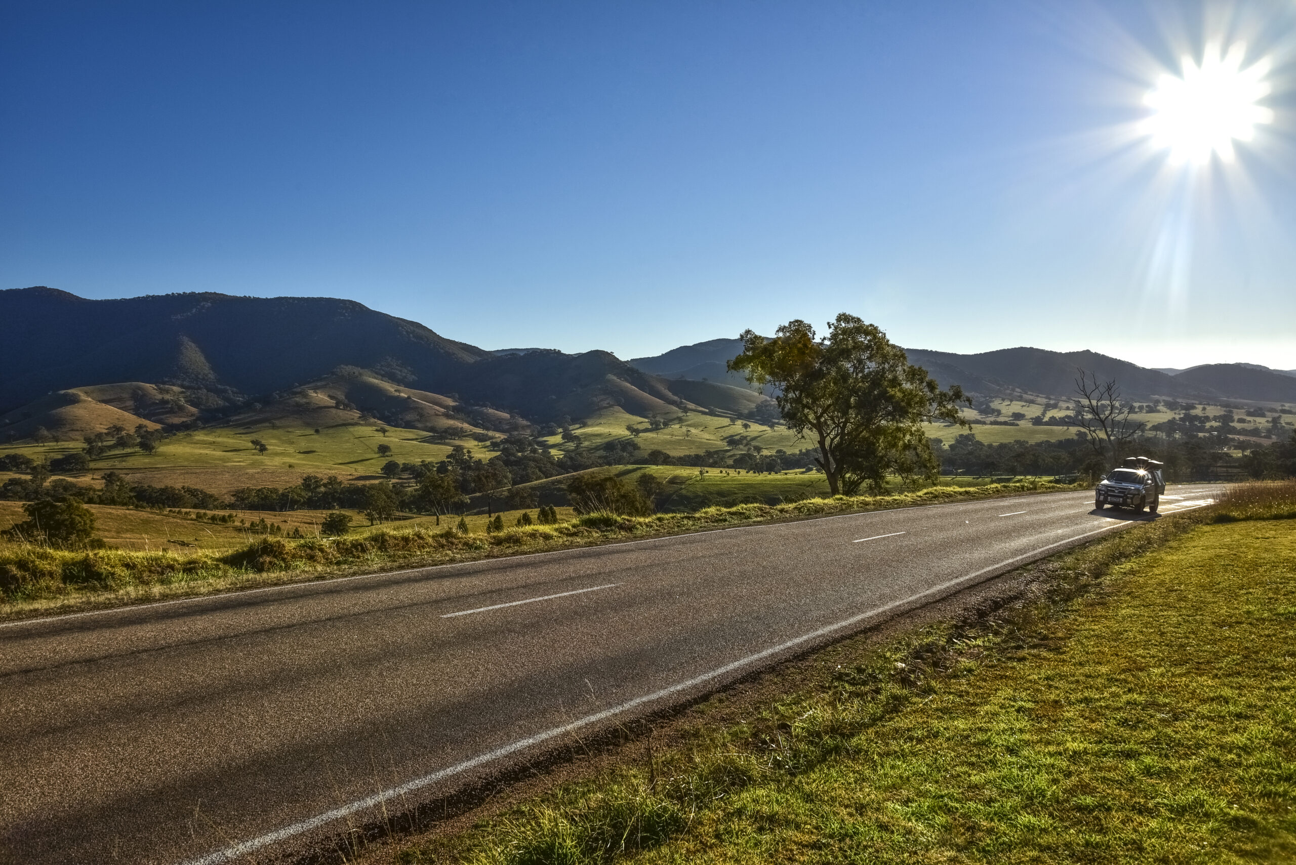
Cyclists looking for a challenge will enjoy this scenic sealed-road loop through Cassilis and Omeo.
The route climbs steadily through open country, with sweeping mountain views, abundant wildlife and a rewarding descent through historic high-country landscapes.
Keep an eye out for emus, kangaroos and wallabies.
Approx. 5-6 hours return
Cassilis: Mt Hepburn (King Cassilis) Mine Trail
Difficulty: Hard
Distance: 2km return
Explore one of the region’s most fascinating historic gold mining sites. This steep walk passes old mine workings, mullock heaps, adits and treatment areas, offering a unique look into Cassilis’ rich mining past.
Allow around 1.5 hours return.
Nearby food: Cassilis Estate
Nearby accommodation: Cassilis Recreation Reserve
For more details about this walk check out our comprehensive guide to walks in Cassilis.
Approx. 90 minutes return
Cassilis: Rileys Creek Road
Difficulty: Easy
Distance: 4km return
This gentle walk or ride follows a quiet road beside Rileys Creek. With plenty of shade and opportunities to spot wildlife, it’s an ideal route for a relaxed morning outing.
Keep an eye out for emus, wallabies and perhaps even a platypus.
Nearby food: Cassilis Estate
Nearby accommodation: Cassilis Recreation Reserve
Approx. 1 hour return
Cassilis: Cemetery and Recreation Reserve
Difficulty: Easy
Distance: 1.5km return
Combining local history with natural beauty, this short walk links the peaceful Cassilis Recreation Reserve with the historic cemetery.
Large heritage-listed trees, open space and abundant wildlife make this a lovely place for a picnic or quiet stroll.
Nearby food: Cassilis Estate
Nearby accommodation: Cassilis Recreation Reserve camping area
Approx. 30 minutes
Cassilis: Jirnkee Race Walk
Difficulty: Hard
Distance: 2km return
Step back into East Gippsland’s gold rush era on this challenging hike along a section of the historic Jirnkee Water Race.
The climb is steep, but rewards walkers with spectacular views and remarkable remnants of the water race infrastructure carved into the rocky plateau by hand.
Allow around 1.5 hours return.
Nearby food: Cassilis Estate
Nearby accommodation: Cassilis Recreation Reserve
More details about this trail can be found at our detailed guide to Cassilis bushwalks.
Approx. 90 minutes return
Bindi: Old Bindi Road Loop
Difficulty: Easy
Distance: 5km loop
A peaceful route through farmland, river flats and open countryside. Crossing Junction Creek and following quiet rural roads, the loop delivers magnificent views towards Mt Bindi and the surrounding ranges.
In the evening, kangaroos are often seen grazing nearby.
Nearby food: Swifts Creek township
Nearby accommodation: Tambo Valley Golf Club precinct and nearby camping options
Approx. 90 minutes return
Reedy Flat: Reedy Flat Memorial Walk
Difficulty: Easy
Distance: 20km return drive/walk (4km) combination
The Reedy Flat World War One memorial is 10 km off the Great Alpine Road, south of Swifts Creek, on Sandy Creek Road. Follow the road for 7km and then turn right into Hammonds Road. (You could walk from here).
The memorial is 2.5 km from the turn off. Park at the Memorial and walk for 2km further along Hammonds Road for gorgeous views of rolling hills, pastoral land and the Nunniong Ranges looming up in the distance.
Return to the Memorial for refreshments on the bench seats. The First World War memorial was conceived of, designed, funded, built and maintained entirely by local people. Thirty three men enlisted, nine of whom lost their lives. Descendants of these men still reside in the district. Peaceful, quiet country.
Approx. 1 hour return
Before You Head Off on Your Walk, Ride, or Drive...
Save a copy of the Swifts Creek & Surrounds Walking Map and Detailed Trail Guide. Be sure to carry water, wear suitable footwear and allow extra time to stop, explore and enjoy the many hidden gems you’ll discover along the way. The best experiences in the Tambo Valley are often found just beyond the next bend in the road.
Public toilets are available at:
- Swifts Creek Hall
- Ensay Recreation Reserve
- Cassilis Recreation Reserve
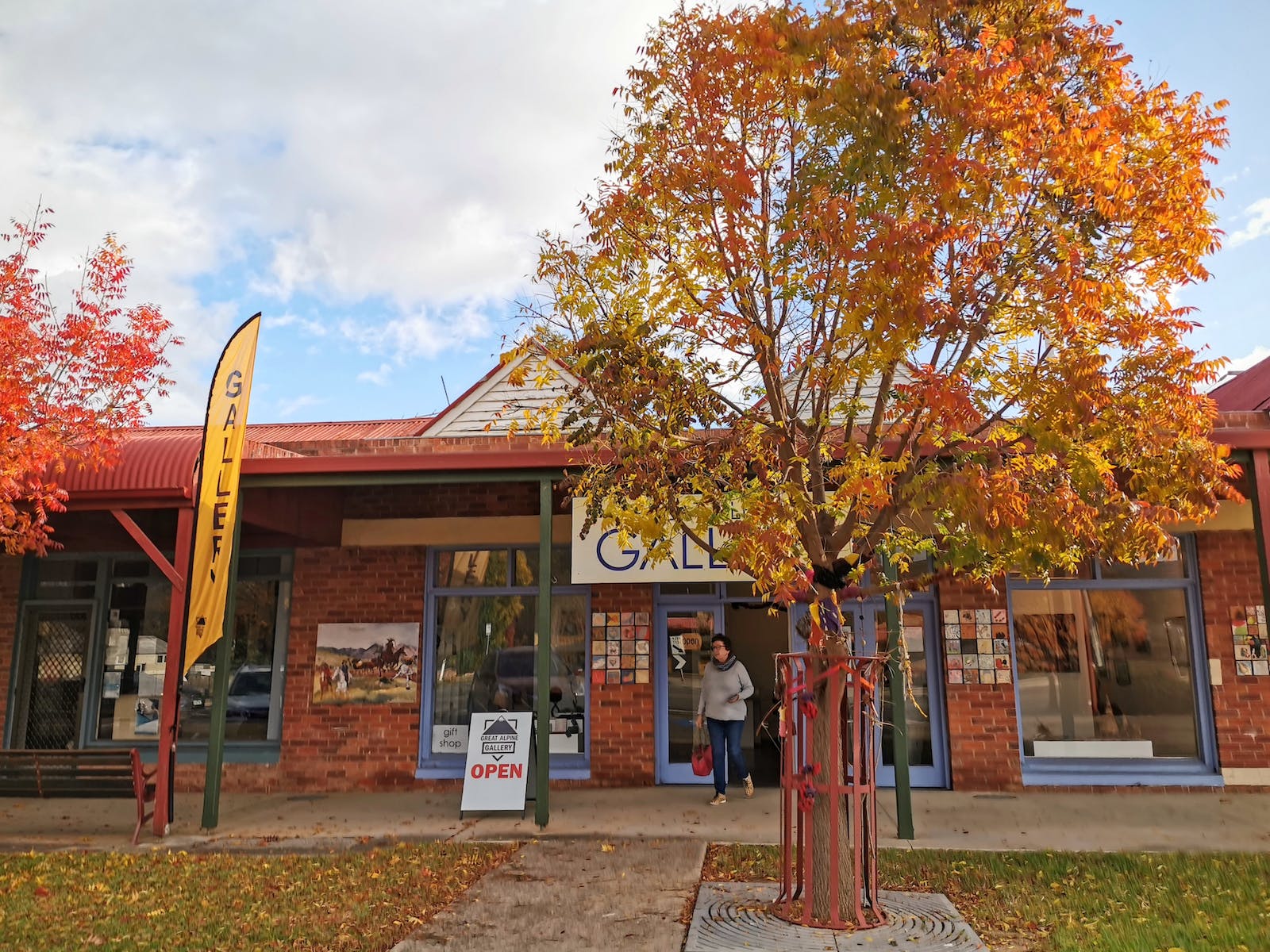
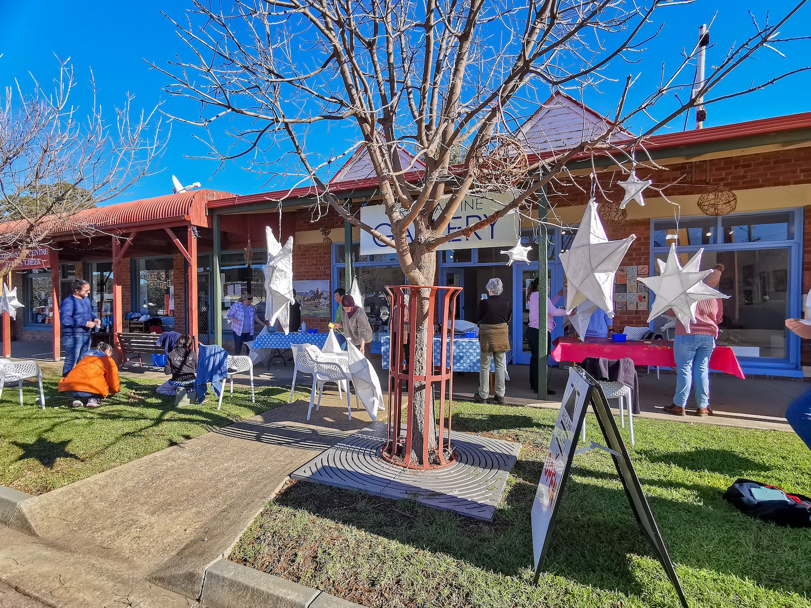
Great Alpine Gallery, Swifts Creek