The majority of Croajingolong National Park remains closed due to fire, however, some visitor areas have reopened. For the latest information, visit www.parks.vic.gov.au.
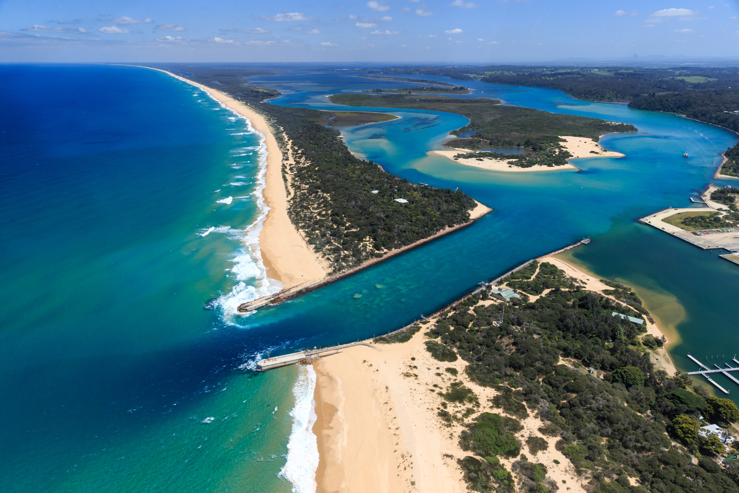
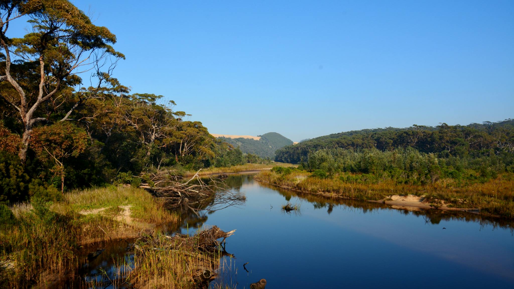
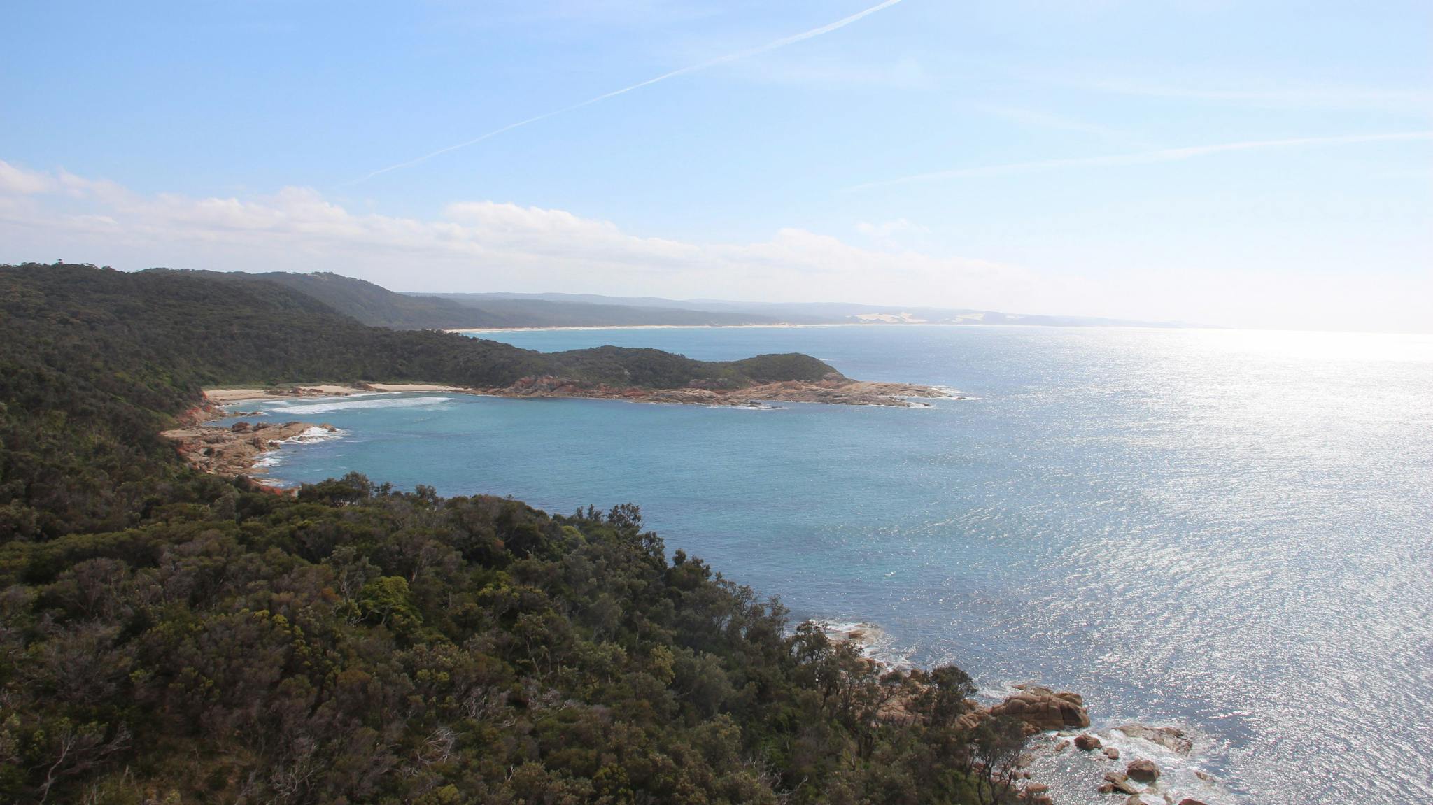
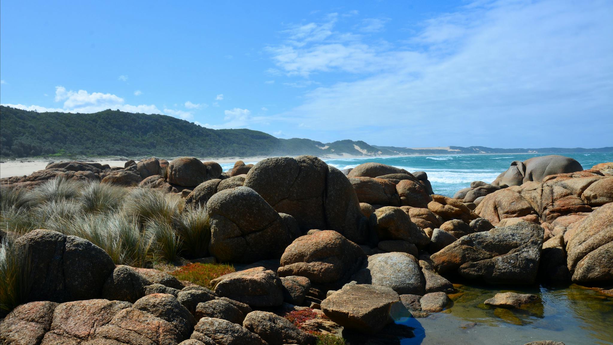
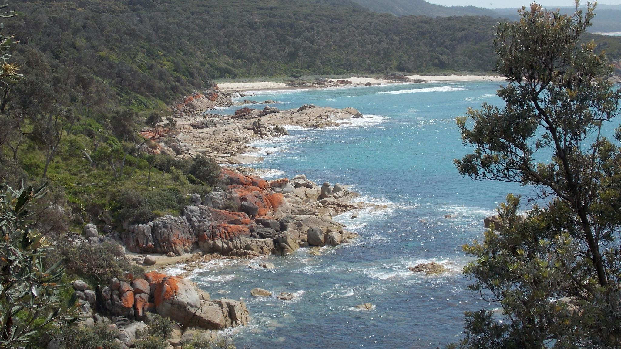
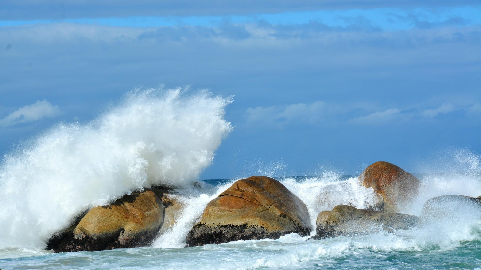
Named after the Aboriginal people of the area, Croajingolong National Park follows the far-eastern coastline of Victoria for 100 kilometres and features eucalypt forest, rainforest and heathland.
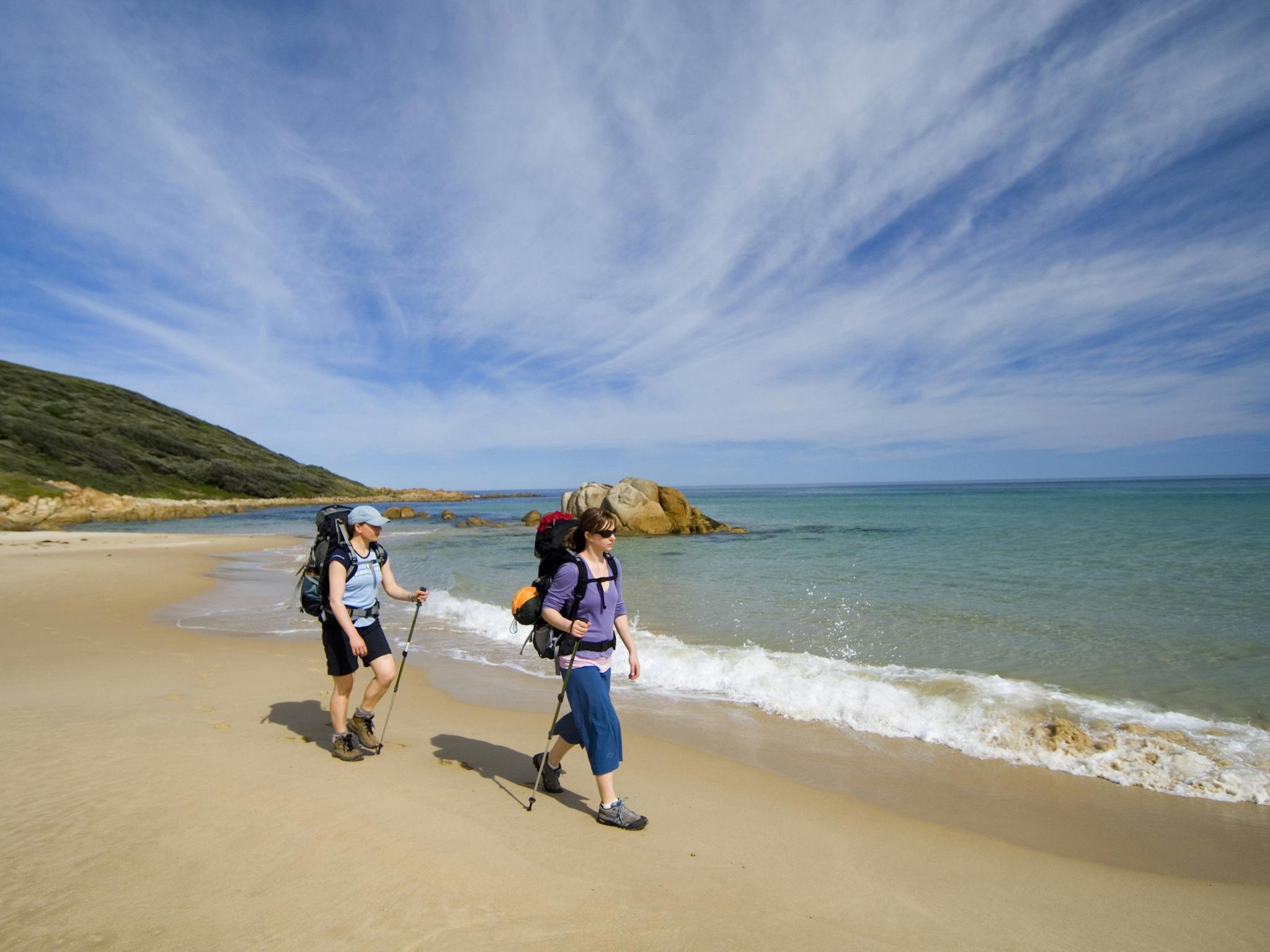
Secluded coastal camping spots are a perfect base for beach walks, birdwatching, boating and fishing. Relax in a boat on the Mallacoota Lakes, climb Genoa Peak for panoramic views along the coast or visit the massive sand dunes at Thurra River.
Point Hicks Lightstation, set deep within the park, is an imposing concrete tower completed in 1890. While Gabo Island Lightstation, built of distinctive pink granite, can be reached by air or sea. Both offer tours and accommodation.
Aboriginal Traditional Owners
Parks Victoria acknowledges the Aboriginal Traditional Owners of Victoria – including its parks and reserves. Through their cultural traditions, the Bidawal and Nindi-Ngudjam Ngarigu Monero identify the Croajingolong National Park as their Traditional Country.
Before you go
Conditions can change in parks for many reasons. For the latest information on changes to local conditions, please visit the relevant park page on the Parks Victoria website.