Flight 3 – The Silt Jetties

Lakes Entrance Helicopters

Add to favourites

View on map

Flight 3 – The Silt Jetties

Lakes Entrance Helicopters

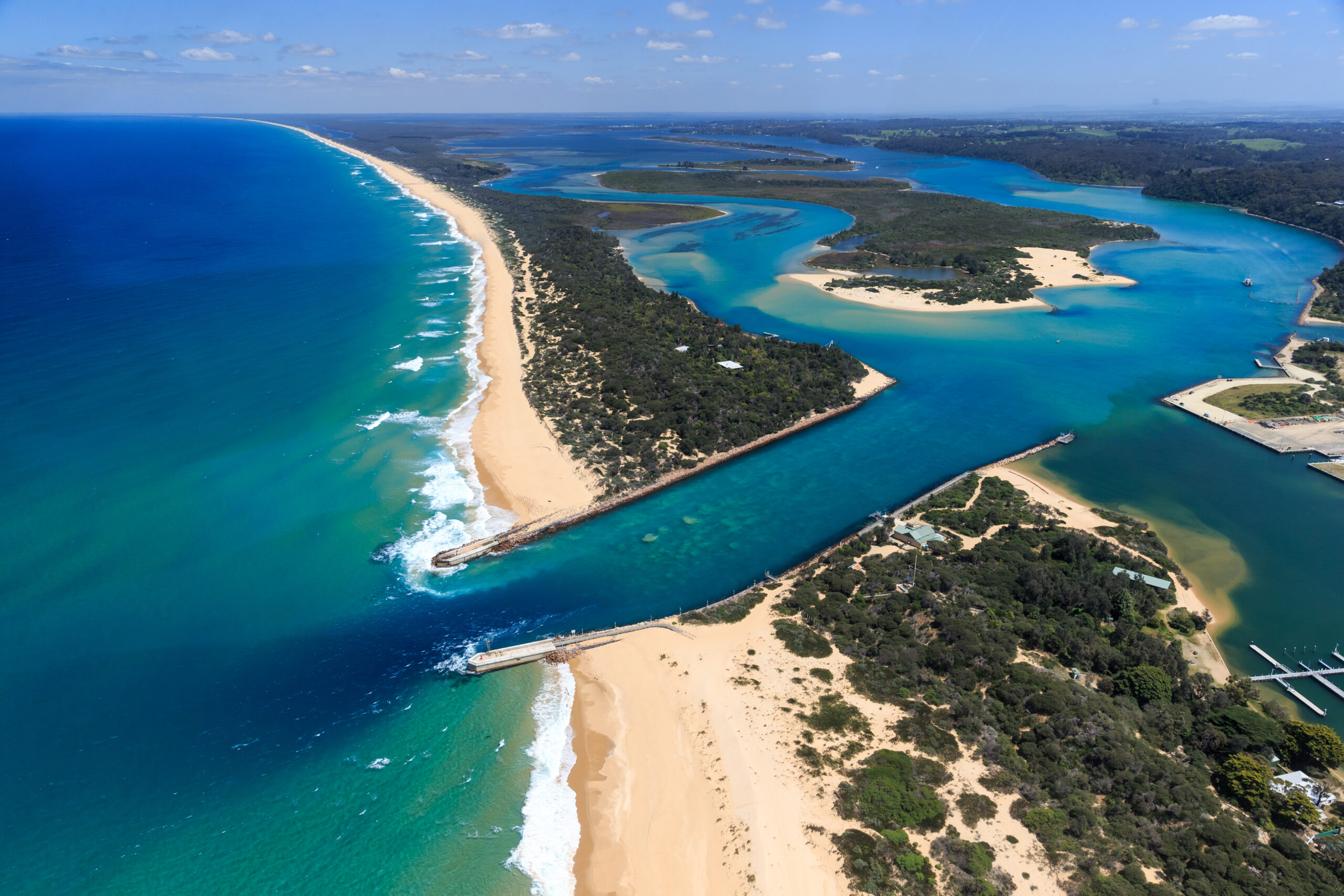
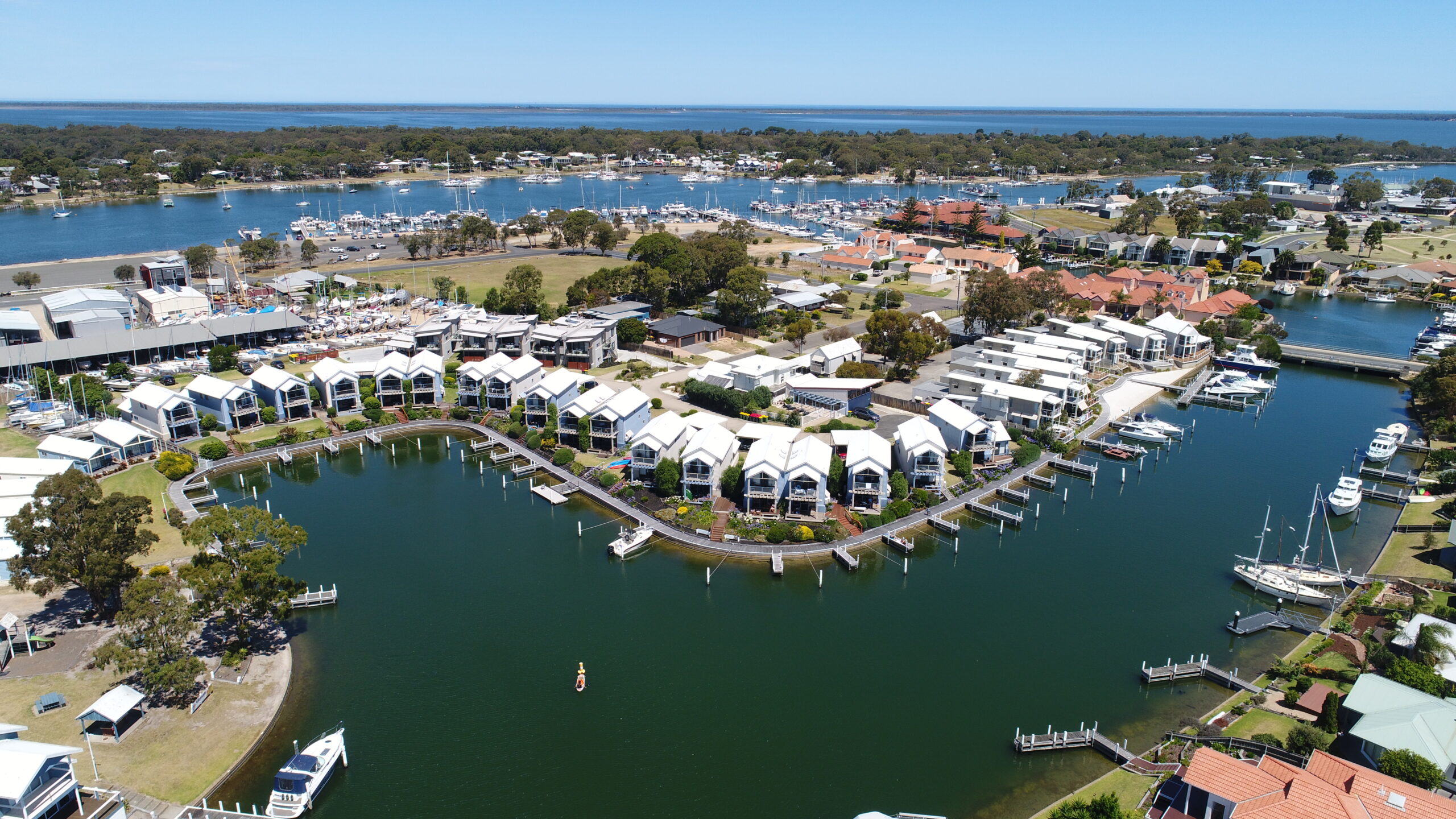
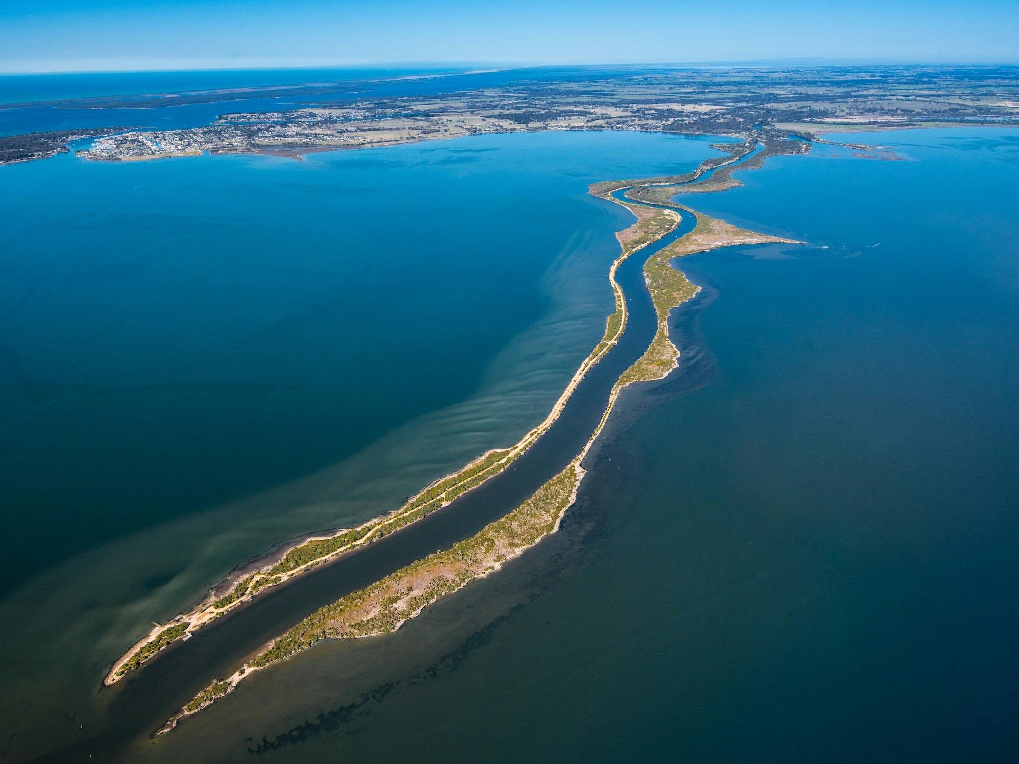
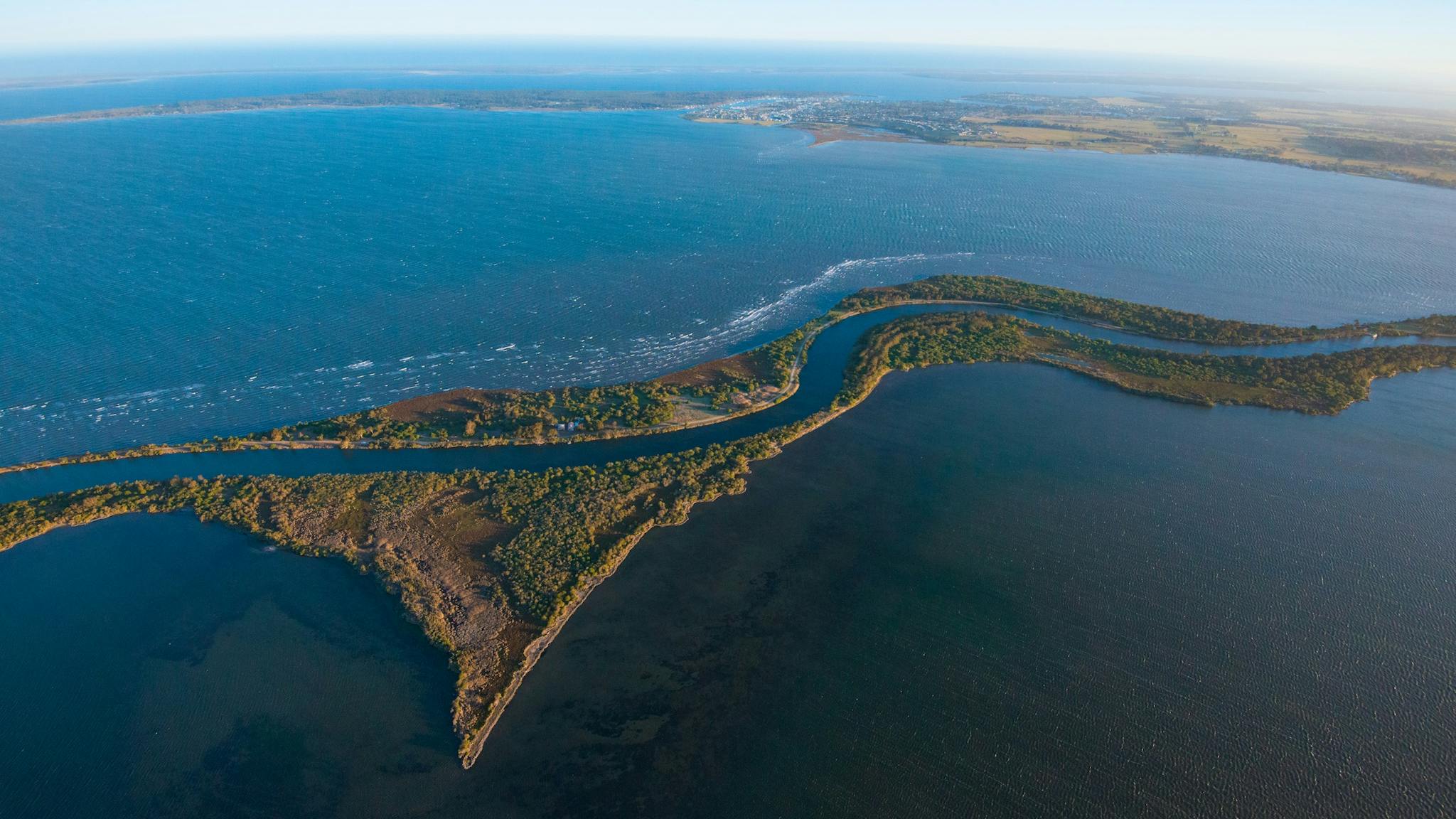
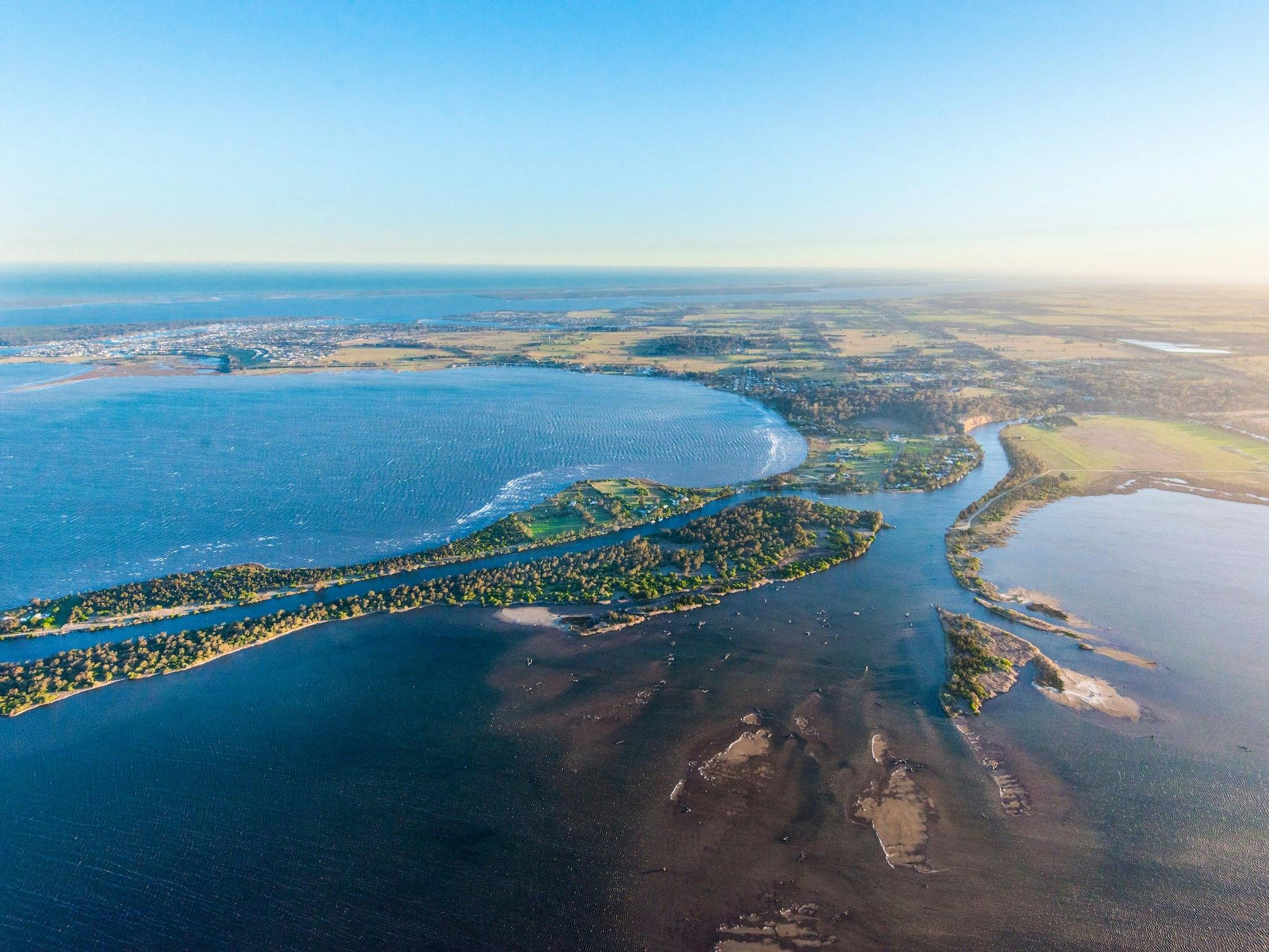
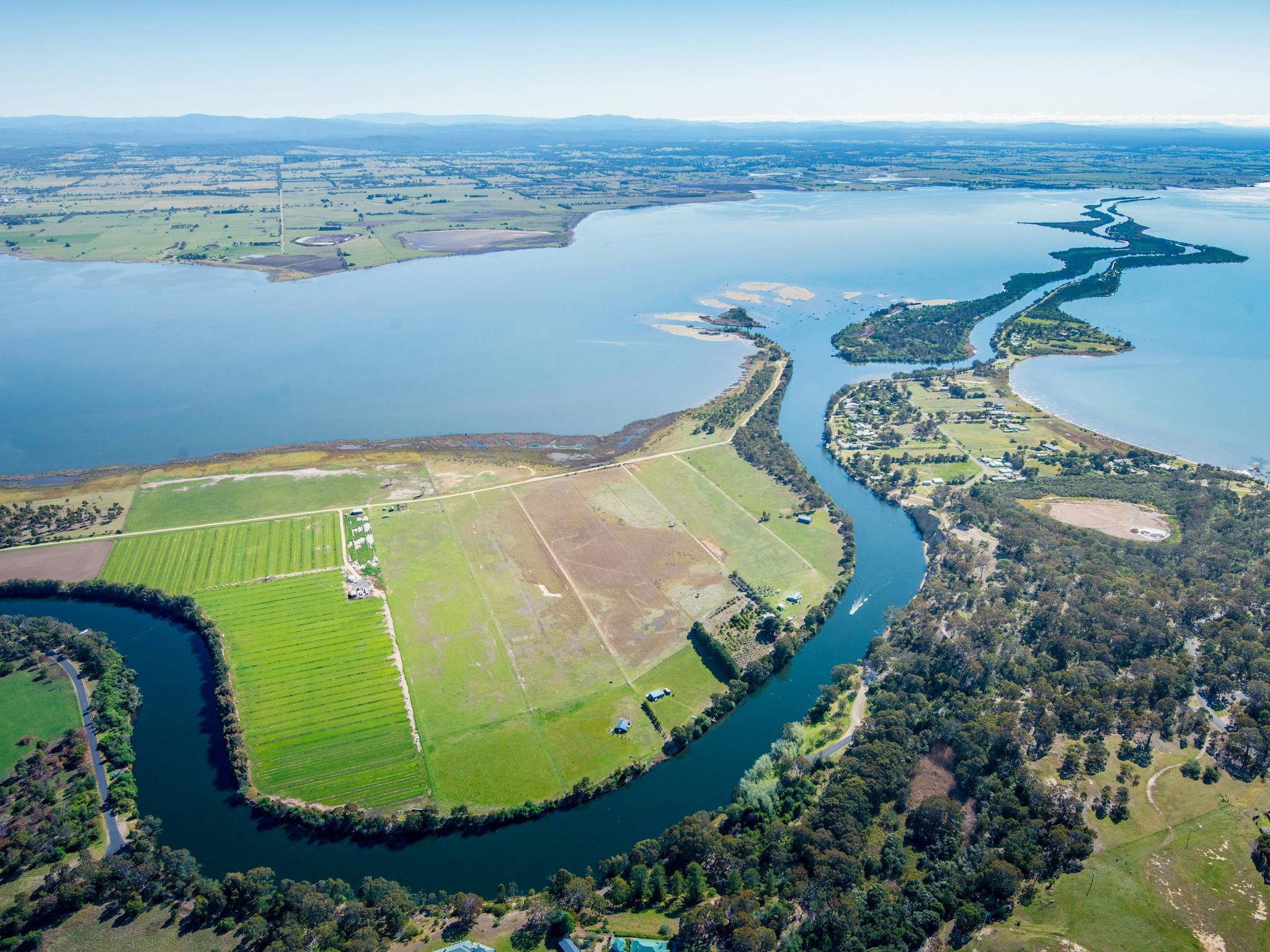
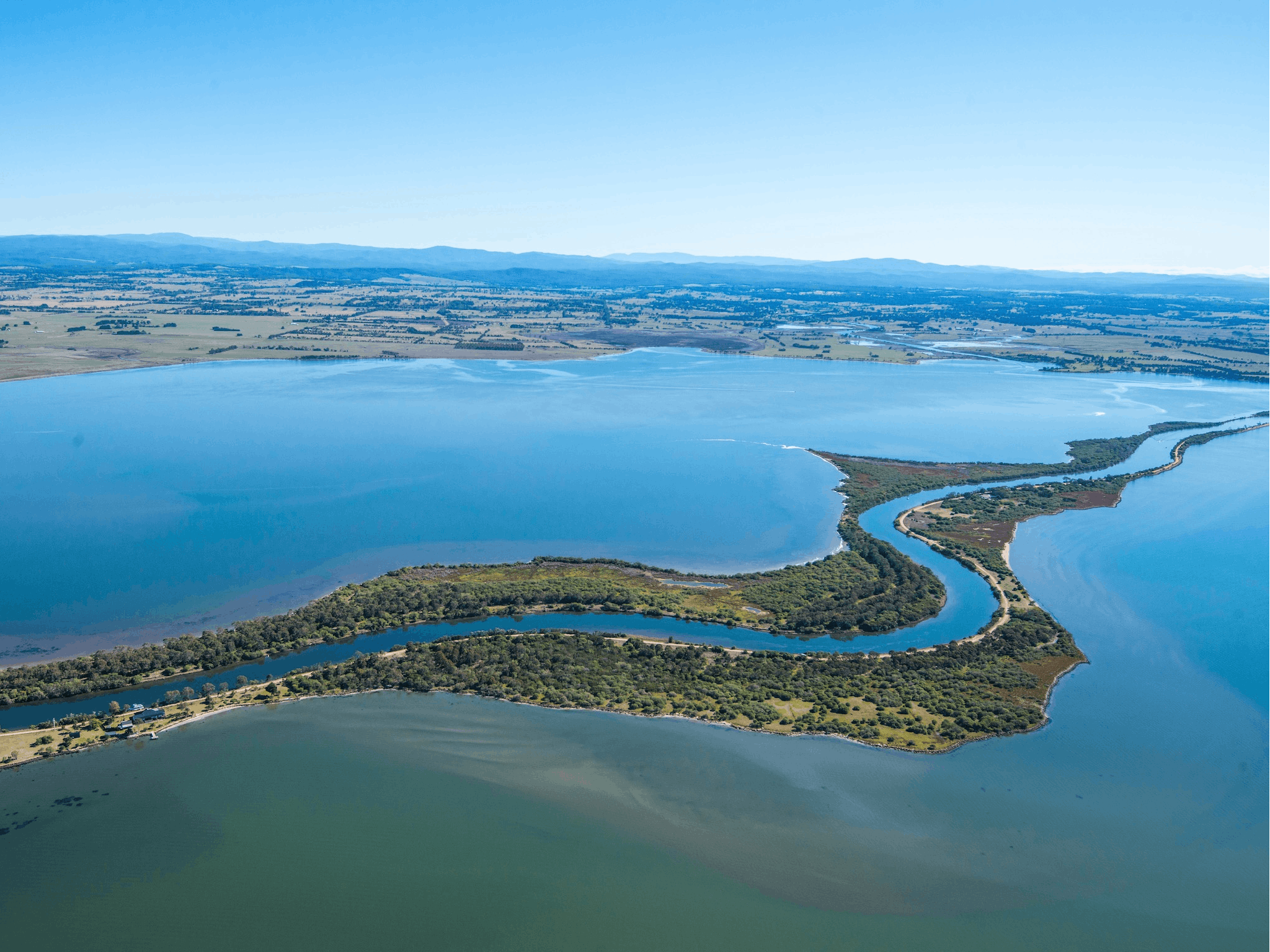
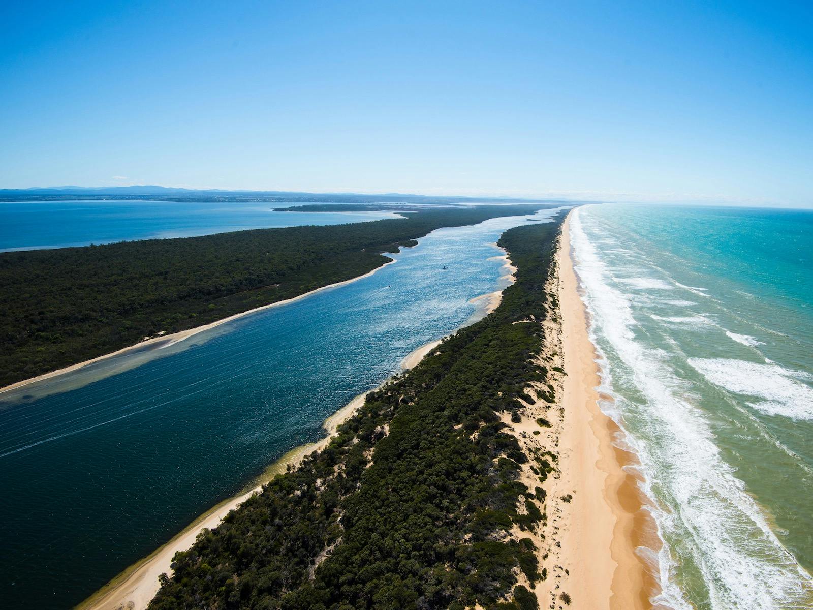
Take to the skies and be captivated by the unrivalled beauty of Gippsland Lakes during this 20 minute Scenic Flight. Gippsland Lakes have a unique character, defined by the presence of the Mitchell River Silt Jetties at Eagle Point. These naturally formed silt banks run for over six kilometres, making them one of the longest in the world. Fly past the popular holiday spot of Paynesville and over Raymond Island. Continue coastal past the Barrier Landing, another popular holiday spot, before flying over the Entrance and back to the airfield.

Cost

Adult: $260

Priced per person, three years and over. All flights are subject to a minimum of two passengers. Their standard helicopters have a maximum passenger weight of 130 kilograms. One infant under the age of three may be carried on an adult lap free of charge.

Child: $260

One infant under the age of three may be carried on an adult lap free of charge.

Inclusions

Twenty minute helicopter flight, experienced pilot, commentary, photo opportunities before or after the flight.

Tour highlights

The Entrance

The natural entrance to the lakes was unreliable and often dangerous. After much agitation, work began in 1872 to cut an artificial entrance, west of the natural entrance. Work on the "New Entrance" proceeded slowly and in 1876 was abandoned. Sir John Coode, renowned harbour engineer, advised on improvements but work did not resume until the early 1880s. In 1889, the new entrance was prematurely opened when a severe storm broke through the remaining sand hills. The natural entrance quickly silted up.

The Silt Jetties

The Mitchell River Silt Jetties are an unusually long, thin landform in the Gippsland Lakes region in Victoria, Australia. A type of digitate delta, they have been formed over thousands of years by sediment deposition from the Mitchell River during periods of low water flow and subsequent wash-through during periods of high water flow. The long narrow banks of silt thus formed extend more than eight kilometres east into Lake King. The south bank is navigable by car from Eagle Point through to the very easternmost tip at Point Dawson. The Silt Jetties have been eroding since the early 1900s, soon after the permanent entrance to the Gippsland Lakes introduced sea water that killed protective shoreline vegetation. In 1919 a break cut through the northern Silt Jetty and by 1970 their land area was reduced by 45 percent. Works are being undertaken to preserve them. Farming on the jetties has ended and they are used for recreation. The jetties are listed on the Register of the National Estate.

Service Waypoints Map

Facilities

Aerial photograph of an estuary mouth where a Gippsland Lakes meets the ocean at Lakes Entrance, featuring a sandy beach and a long sandspit - The Ninety Mile Beach. The image shows jetties extending into the sea, lush green vegetation along the shoreline, and multiple channels of blue water weaving through low-lying islands and sandbanks.

View More.

Featured

Great Snowy River Country Walks

View More.

Featured

Underground adventure at Buchan Caves

Campaign Heading Placeholder

Campaign Subheading

Sed ut unde omnis iste natus sit volur tatem accus antium laudan tium totam rem aperiam eaque ipsa ab illo inventore veritatis et architecto beata.